
What Land Surveyors Actually Do
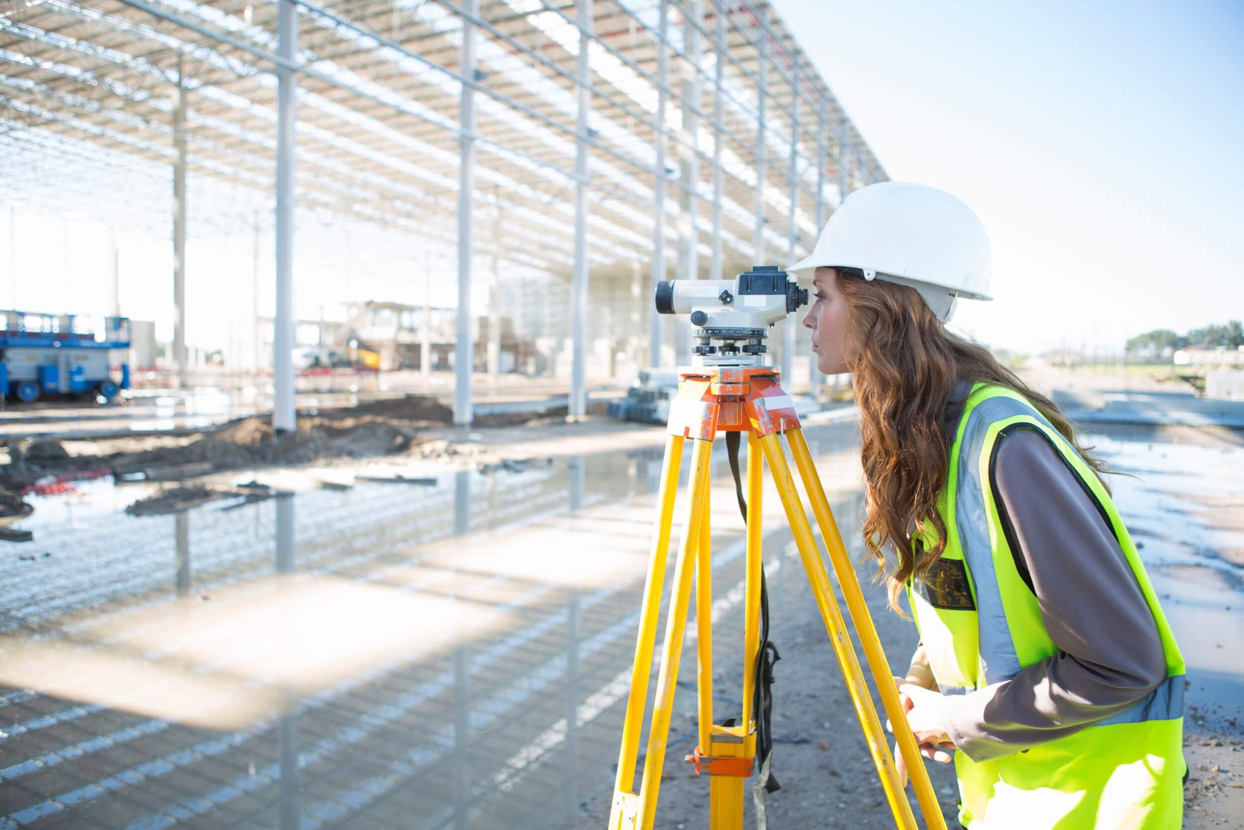
Land surveyors measure property boundaries, elevations and features with great precision. Their work guides construction, resolves boundary disputes and supports planning decisions, giving property owners and builders reliable data before any major project moves forward.
Modern Tools In Land Surveying

Digital levels, GPS receivers and drones have transformed surveying accuracy and speed. These tools capture detailed measurements in less time, reduce human error and deliver clear digital maps that engineers and architects can use immediately.
Understanding Your Property Boundary Survey

A boundary survey confirms exactly where your property begins and ends. It identifies corners, easements and encroachments, helping you avoid disputes with neighbors and giving you confidence before building fences, extensions or selling your land.
Topographic Surveys For Construction Projects
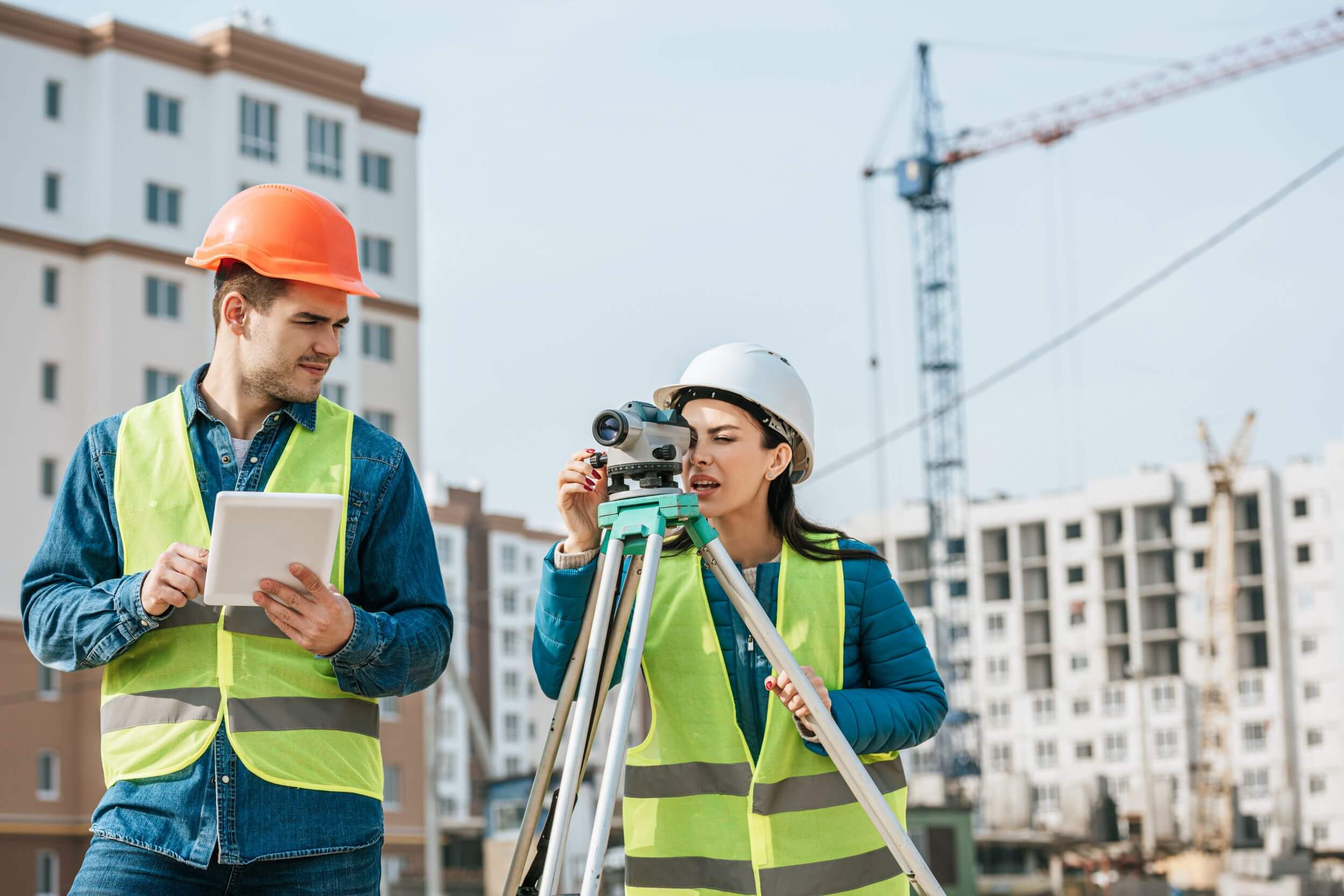
Topographic surveys map the shape and elevation of the ground in detail. Designers use this information to plan drainage, foundations and access roads, ensuring every structure fits the landscape safely and efficiently from the very start.
How Surveying Supports Safe Building
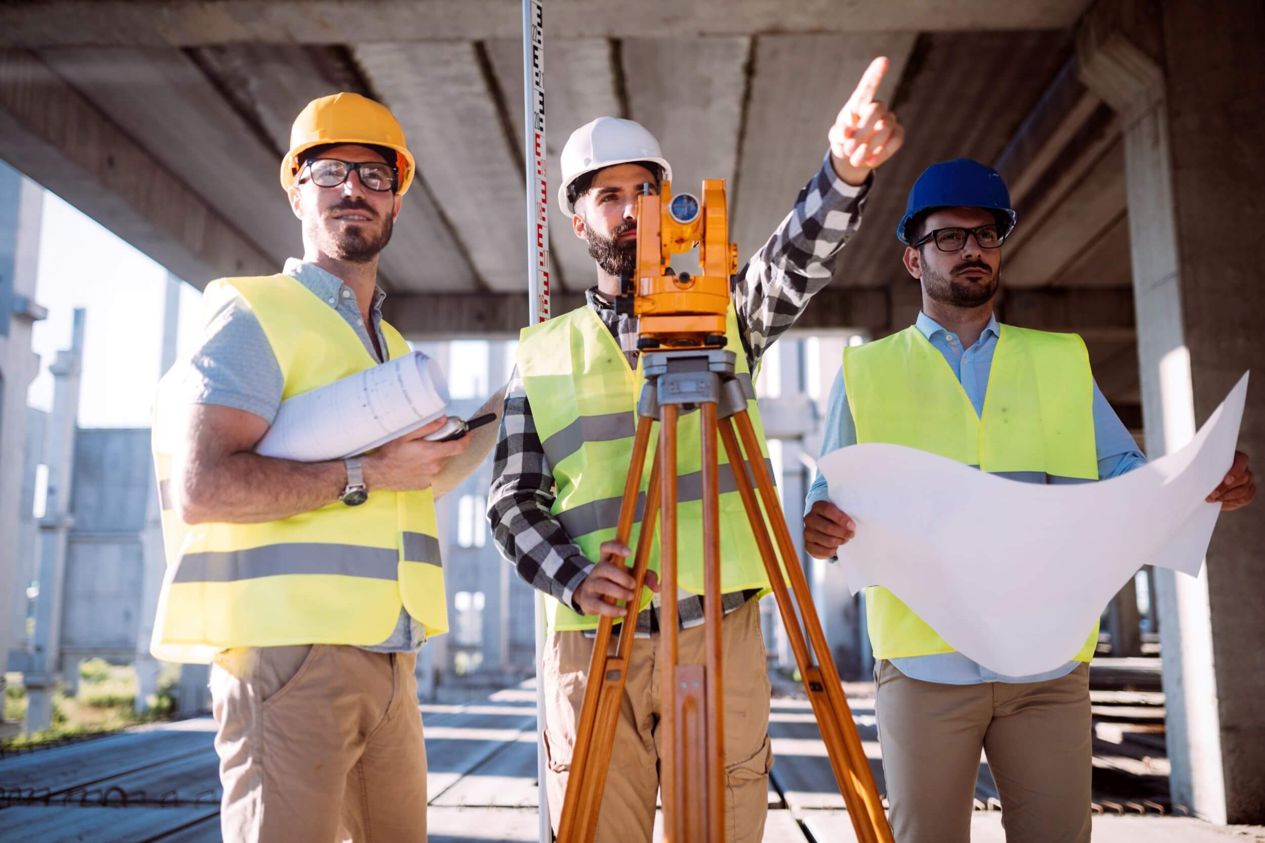
Accurate surveys keep construction projects aligned with approved plans. Surveyors stake out foundations, monitor progress and verify final positions, helping engineers avoid costly mistakes and ensuring buildings meet safety standards and local regulations throughout development.
Preparing For Your Site Survey
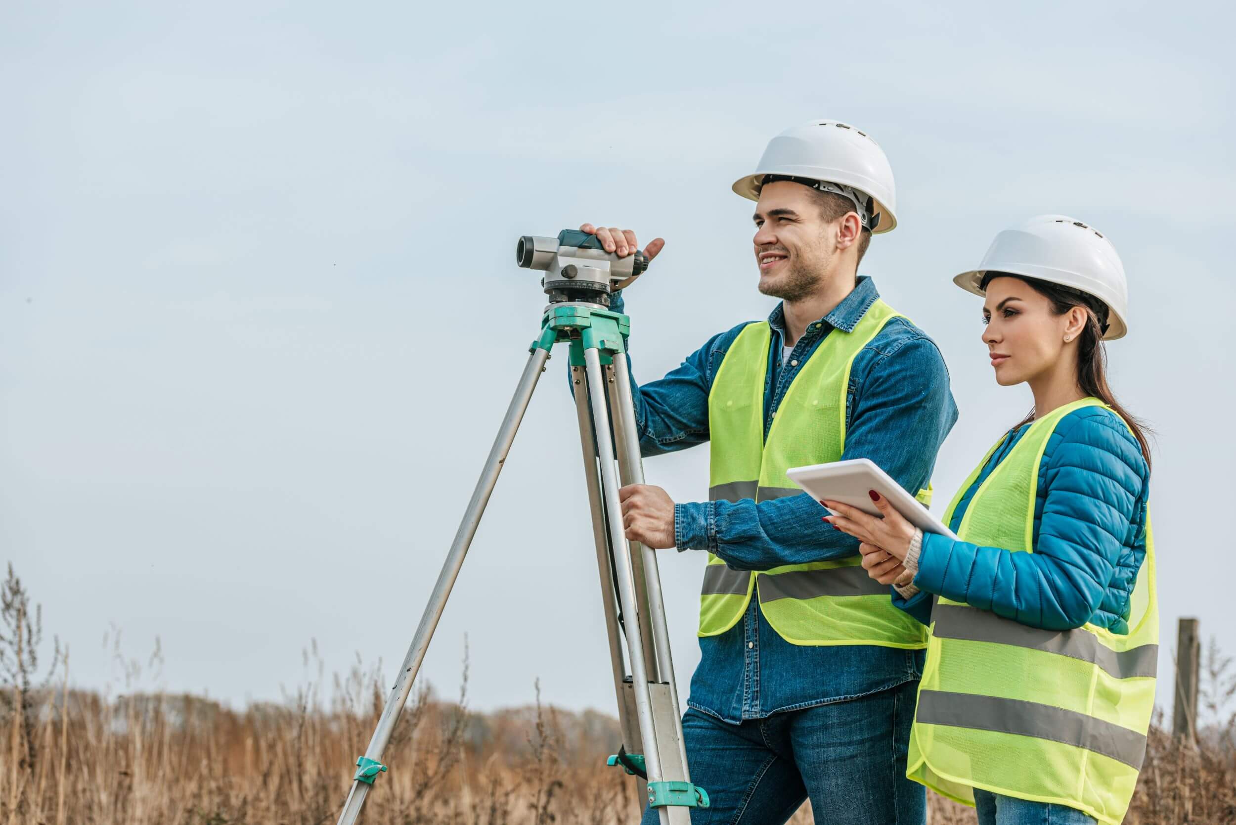
A little preparation helps your survey run smoothly. Gather existing deeds and old plans, clear access to property corners and share your project goals with the surveyor so the fieldwork focuses on the information you need most.